The new app brings land ownership, access boundaries and season data for both countries into a single map, so hunters always know where they stand.
Toronto, Ontario--(Newsfile Corp. - September 3, 2026) - HuntScout, a hunting maps app built for hunters on both sides of the border, has officially launched across the United States and Canada. The app brings private parcel ownership, American public land from BLM and National Forest to state and walk-in access, and Canadian Crown land together on a single map, answering the question every hunter asks before stepping into the field: can I hunt here?
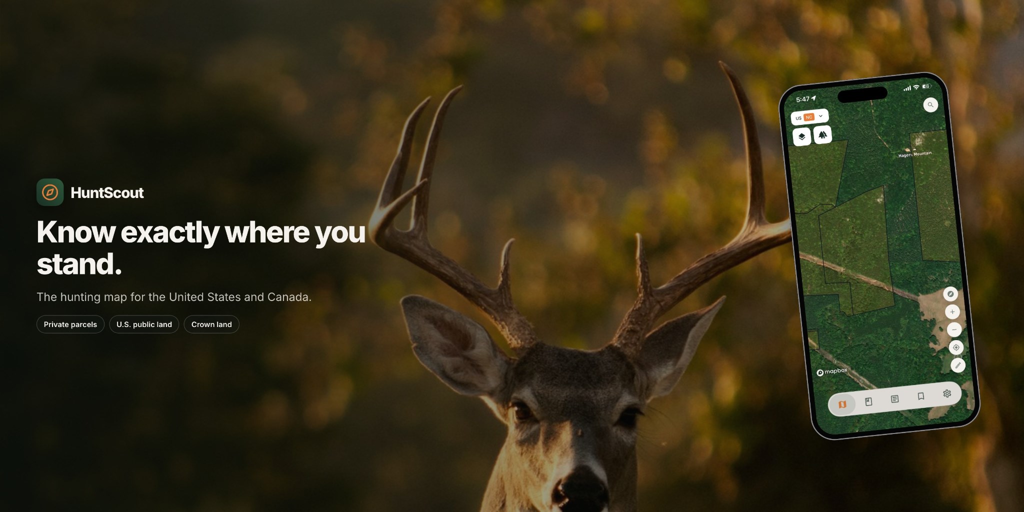
HuntScout Launches to Help Hunters Navigate Public and Private Land Across the U.S. and Canada
To view an enhanced version of this graphic, please visit:
https://images.newsfilecorp.com/files/8814/312588_4be1c5c66471aa7c_002full.jpg
Land access remains one of the most fragmented problems in North American hunting. Ownership records, hunt zone boundaries and regulations are scattered across county, state, provincial and federal sources, and the rules differ on each side of the border. A hunter planning a season in Montana and another in Ontario has traditionally needed separate tools, or none at all, to know where access is legal.
"We built HuntScout because the hardest part of hunting shouldn't be figuring out where you're allowed to do it," said Marc Tamedy, COO of HuntScout. "Whether you're on BLM land in the West or Crown land in the North, the answer should be one tap away."
HuntScout is available on iOS, Android and the web, with coverage spanning all fifty U.S. states and the Canadian provinces. Because much of that ground sits far beyond cell service, the app keeps hunting land boundaries available offline, and a built-in hunt log turns each outing into a record hunters can keep for themselves or share with their group.
With fall seasons approaching across North America, HuntScout plans to keep expanding its land access data as new records become available, with the goal of becoming the reference layer for legal hunting access on the continent.
About HuntScout
HuntScout is a hunting navigation app covering the United States and Canada. It maps private parcels, public land and Crown land, tracks season status, and helps hunters plan and log their hunts.
Contact Info:
Name: Marc Tamedy
Email: help@huntscout.app
Organization: HuntScout
Website: https://huntscout.app
To view the source version of this press release, please visit https://www.newsfilecorp.com/release/312588